Mission
The Louisiana Remote Sensing & GIS Workshop is a premier annual event that facilitates knowledge sharing, networking, and professional development among experts in the fields of remote sensing and geospatial technologies. This workshop features educational presentations, panel discussions, a student poster contest, and an awards ceremony among other activities. It aims to enhance the understanding and application of GIS and remote sensing methodologies across various industries and sectors in Louisiana.
Basic Information
Tax-Exempt
Founded in
2015
EIN
81-1528187
Total Assets
$38.21 thousand
At a Glance

Networking Opportunities
Meet and network with members of the Louisiana geospatial community.

Educational Presentations
Participate in two days of educational presentations and panel discussions.

Awards Ceremony
Join us for the award ceremony recognizing outstanding contributions in the field.
Upcoming Events

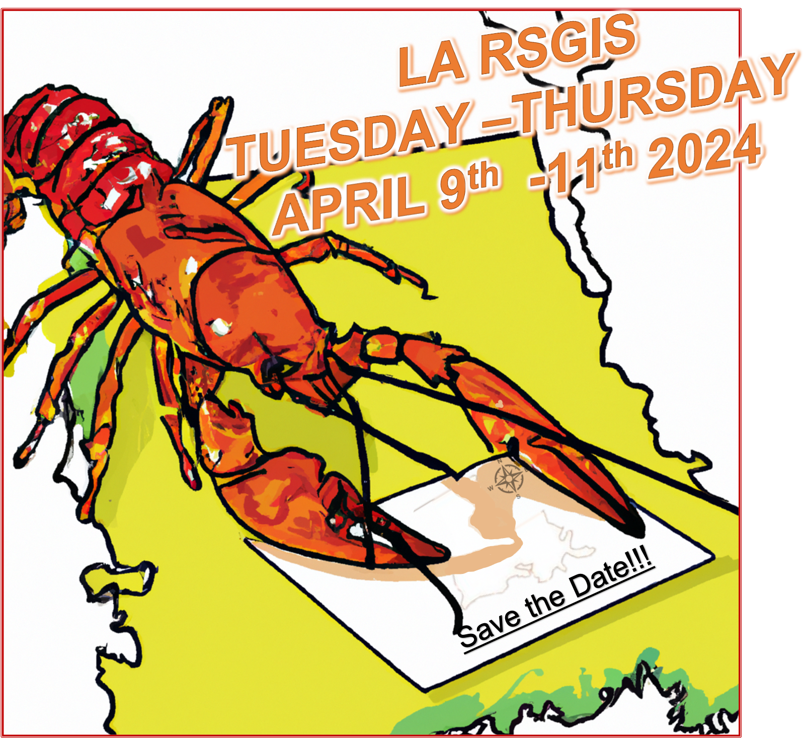
LARSGIS Workshop 2024
2024-04-09
The 36th Annual LARSGIS Workshop will be held April 9-11, 2024.
Learn MoreMIP Score (Beta)
The MIP Score is in beta! We'd love any feedback you may have.
The MIP Score and it's methodology is purely used as a way to visualize how a nonprofits public financial data compares against others. It doesn't reflect the unique circumstances and impact that a nonprofit has.The MIP Score should never be used to say one charity is better than another.
Overall Score
40
12
/100
Program Expense Ratio
56.97%
4
/20
Program Revenue Growth
-15.83%
2
/20
Leverage Ratio
20
2
/20
Working Capital Ratio
-3.602
2
/20
Fundraising Efficiency
0
2
/20
Latest Filing Data: Form 990
Fiscal Year:2022
Source:Source: Self-reported by organization
Financial Details
Revenue
| Category | Amount | Percentage |
|---|---|---|
| Contributions, Gifts, and Grants | 17.77K | 25.28% |
| Program Services | 52.5K | 74.72% |
| Investment Income | 0 | 0.00% |
| Sales of Non-Inventory Assets | 0 | 0.00% |
| Other Notable Sources | 0 | 0.00% |
| Total Revenue | 70.27K | 100.00% |
Related Nonprofits
New Classrooms Innovation Partners Inc.
Education
Educational SupportLiberty Classical Schools Educational Services Inc.
Education
Educational SupportGlobal Business Success Foundation
Education
Educational SupportLouisiana Rs and Gis Institute
Education
Educational SupportEmpowher Institute Inc.
Education
Educational Support